Holy Land in Maps
By Ariel Tishby.
Description
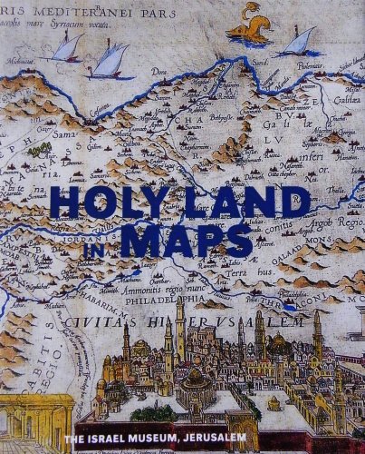
The map of the Holy Land reflects the religious and political outlook, as well as the scientific and aesthetic sensibilities, of the mapmakers and the society in which they lived. Thus, this 2001 Israel Museum exhibition- the first to bring together maps of the Holy Land from antiquity up until modern times- traced not only the history of cartography but also the development of religious, scientific and artistic thought over the last two millennia. The accompanying publication presents cartographic depictions by Jewish, Christian and Muslim pilgrims, scholars, clergymen, and scientists. The...
ISBN(s)
9652782696, 9789652782694

")
")

